OC2 sub-project: AIM
Summary of the project
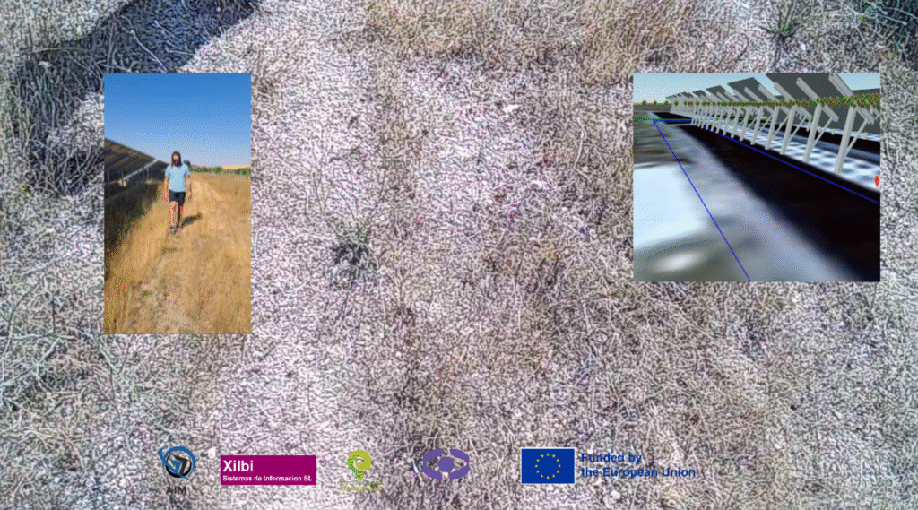
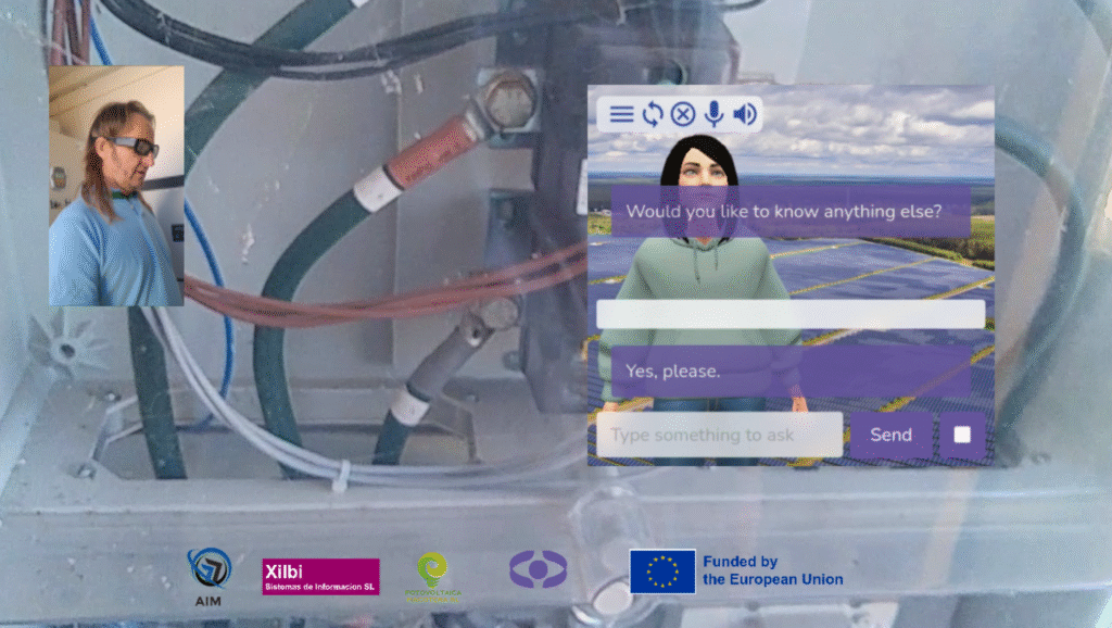
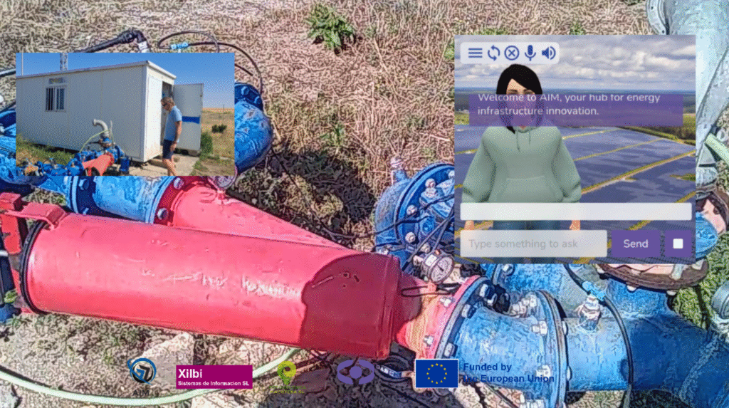
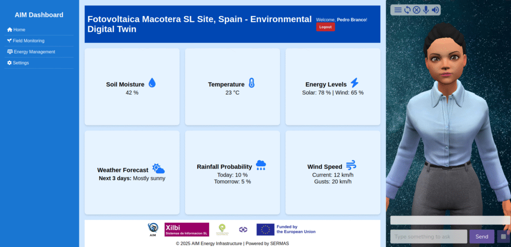
The AIM project stands for Augmented Reality Assisted System for Energy Infrastructure Management. Our goal is to equip field technicians with an AR-assisted platform that combines centimetre-accurate GNSS positioning (including Galileo OSNMA), GIS data, and 3D models of energy assets – both above and below ground. It is unique because it delivers true “x-ray vision” in the field, enabling workers to visualise and maintain infrastructure with unprecedented precision and ease.
How to know more
Dive into our interview with the team, Xilibi and Fotovoltaica Macotera, and check what they developed to the project.


